
Start
at the SANParks path on Theresa Avenue, Camps Bay. Click here for a Google Map of the path.

Follow the path
up to the Pipe Track and take the Kasteelspoort ascent all the way up (point A
on the map). [For a larger PDF version of the above annotated Slingsby Map, click here.]
From here
follow the path to the Waterworks Museum at the foot of Hely Hutchinson Dam. Directly
opposite the little museum is a path heading north-east up the valley between
St Michaels and Junction Peaks. Walk all the way up until you reach the
Aquaduct (point B on the map).

After
admiring the Red Disas,

and the rare Amphithalea
imbricata (above) at the little bridge at the start of the Aquaduct – point B on
the map), turn back and retrace your steps till you get to a waterfall on your
right (point C on the map).
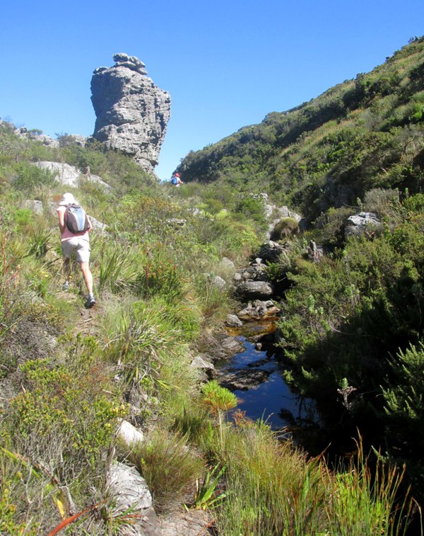
Head up the valley between St Michaels and Orion Peaks where you can pick up a faint path on the left of the disa-lined stream.

Follow
the path as it winds along the stream and you eventually come out at a junction
near a little bridge

and a signpost (point D on the map) saying Echo Valley.


Follow the Echo Valley path to the next junction (Point E on the map), then go through the Valley of the Red Gods back to the start of the Kasteelspoort descent. (Point A on the map).
Retrace
your steps back to Theresa Ave.
NB: The Red Disas flower from the middle of January till the middle of March.
Once again, I am indebted to Peter Slingsby for his great maps. Click here to purchase your own.
Time: 5 hours
if reasonably fit.
Start of Kasteelpoort path from Pipe Track -33.964910, 18.389336
A -33.972284, 18.394586
Waterworks Museum Path -33.974692, 18.407725
B -33.972943, 18.416990
C -33.972087, 18.414638
D -33.969465, 18.411788
E -33.968949, 18.410816

Blue Disa (Disa graminifolia) in Echo Valley. Flowering time is February.